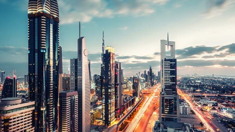
Drones are being used to generate aerial photography to enhance properties in Dubai Investment Real Estate their listings and land location, which can help deliver faster high-res images of contour maps more visually clearer than what previously produced conventional maps.
And they will most likely tend to generate more traffic and sell better when these high-resolution images offer a perceivably better-looking listing. Developers and users would register to have this property and land images sent via email or any favored method through the services of the Departments.
Different conventional methods were crucial in the development of massive independent and growing projects in order to keep track and be up-to-date with all the different requirements needed to make the growth of Dubai as universal and as progressive as its pace.
In addition, the use of conventional surveys was a huge part of just about all the developments in property transactions. In addition to having to attend branches of the Dubai Municipality centre, surveys and inspections were a necessary condition for developers, contractors, building consultants, landowners, government and semi-governmental institutions before any technical decisions about any transaction were taken.
Switching out sensors and cameras makes it possible for brokers and customers in Dubai to obtain high-resolution images of the house, its scale, and its environment. These pictures were previously limited to uneven satellite photos close to those discovered on Google Earth. But now with an app that serves as an electronic system that enables maps to be refreshed and published, called kharetati. This is going to be a really useful app for:
- Brokers and landowners must be able to access on-site maps from the Municipality of Dubai.
- Developers and customers have access to land position maps provided by the drones through comprehensive orthophoto and topographic map rectification data.
- Large-scale projects need a tremendous amount of space, as when tracking the progress and outcomes of that specific land area, it would be less difficult and time consuming.
Several spatial topographies and land data are used to enforce drone restrictions, such as land boundaries, zoning laws, and other details. But now with the growth of Dubai in progress, it is expected that potential prospects for drones in property flying at a height greater than 10,000 metres can monitor and detect complications such as parcel entitlement, setback, and land coverage upon development.
In addition, this method would help to create the refined infrastructure and construction milestones that Dubai will need to play a major role in the global presence of the property industry In order to reinforce developed cooperation and partnerships in Dubai Developers, Directors General and experts of Dubai Municipality believe that this service will contribute significantly to the implantation of the sector
The plans to set up some of the ultimate and most lavish property projects and activities in the history of the UAE have already been initiated by the Municipality of Dubai. To plan the infrastructure for these mega-events, a budget of more than USD 9 billion will be allocated. With population growth in Dubai escalating and household sizes changing, property market growth is growing significantly.
In addition, this refurbished and updated service would support the property market, leading potential buyers and investors to be highly exposed to the redeveloped development of this trend.
In conclusion, this approach helps to develop the refined infrastructure and create milestones that Dubai will need to play a major role in the global presence of the industry, with about 5,500 customers visiting these online centers every day and with over 75 percent of services going online. Wide campaigns and projects aimed at promoting the developmental growth of Dubai’s property may be able to shape the urban progression generated by this significant property production. And thus enabling developers to accelerate the next and upcoming phase of the development of an elevated and advanced city and prepare ahead.
 Farukh Islam